
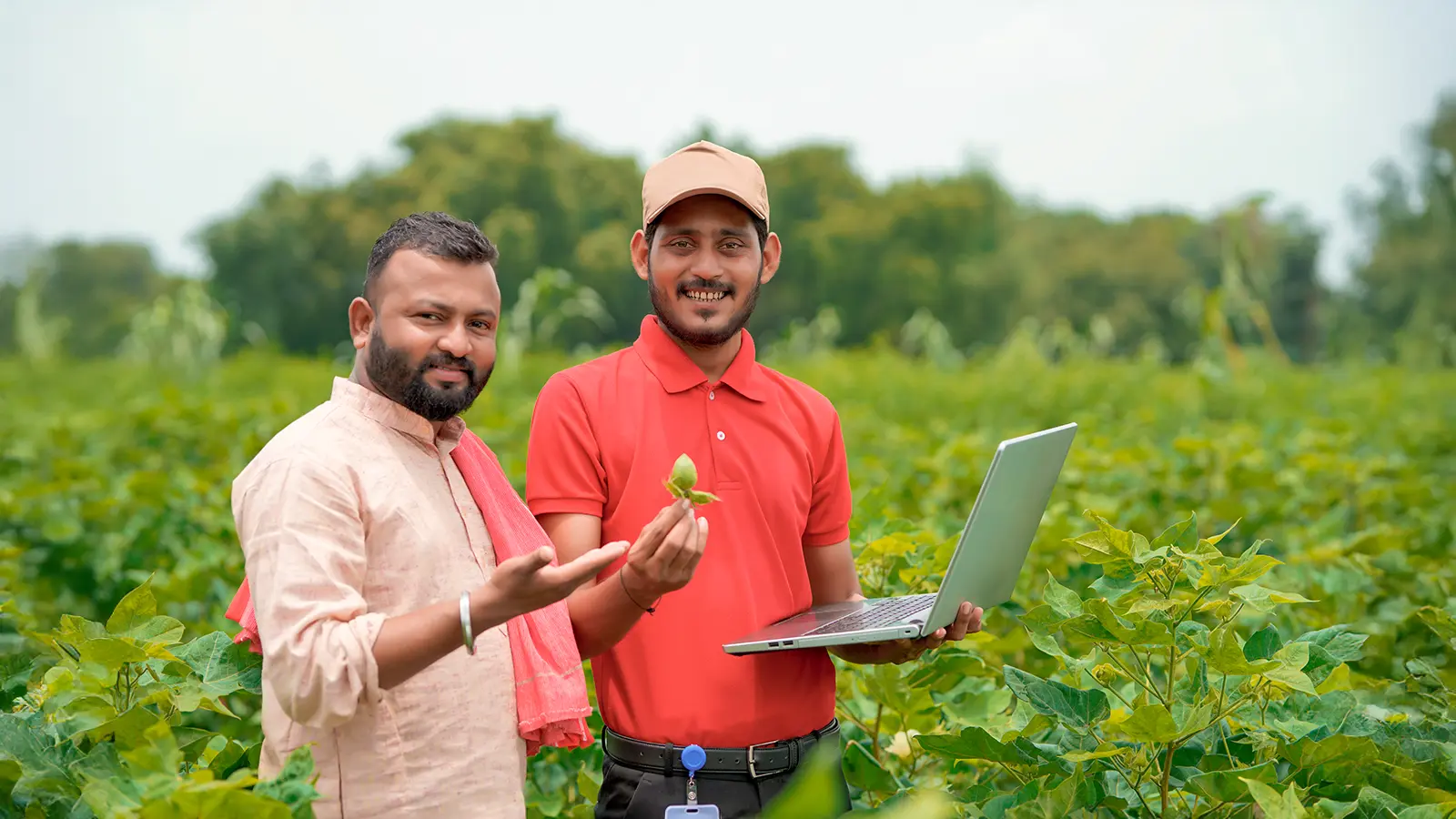
The client is an American agrochemical and agricultural biotechnology major and one of the first companies to apply the biotechnology industry business model to agriculture.
The client’s challenges
- No insights on the maize acreage from village level to district level
- Field staff conducted acreage estimation by the using methods like crop cuts, farmer survey, harvest sample method, whole plot harvest, expert assessments, crop cards, and allometric methods
- Data inconsistencies
- Labor-intensive and cost-ineffective practices
- Inadequate monitoring due to lack of standard benchmarks
- Manual intervention in crop yield estimation meant inaccurate reporting of yield at the plot level
How Cropin helped
Cropin partnered with the client to provide acreage insights at the village level using AI and ML-based solutions that use high-frequency satellite imagery across Bellary, Shimoga, Bijapur, and Dharwad regions of Karnataka, India. Remote monitoring of village-wise maize acreage for three years using AI and ML-based satellite imagery helped better management of delinquencies.
Impact:
Maize acreage provided for four districts
District
2017
2018
2019
Bellary
115,381 Hectares
131,114 Hectares
105,441 Hectares
Bijapur
62,330 Hectares
46,616 Hectares
73,659 Hectares
Dharwad
26,853 Hectares
31,415 Hectares
14,374 Hectares
Shimoga
56,023 Hectares
70,745 Hectares
61,859 Hectares